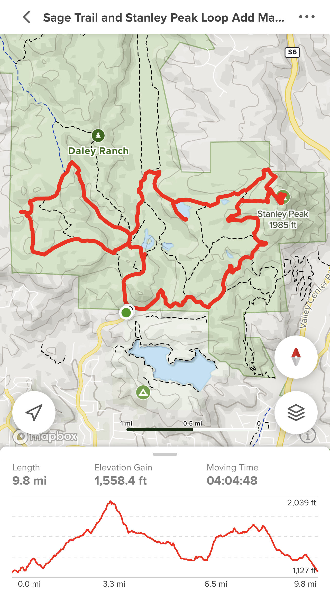
RANCHO CUYAMACA STATE PARK
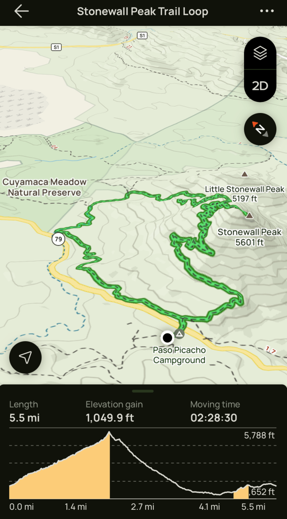
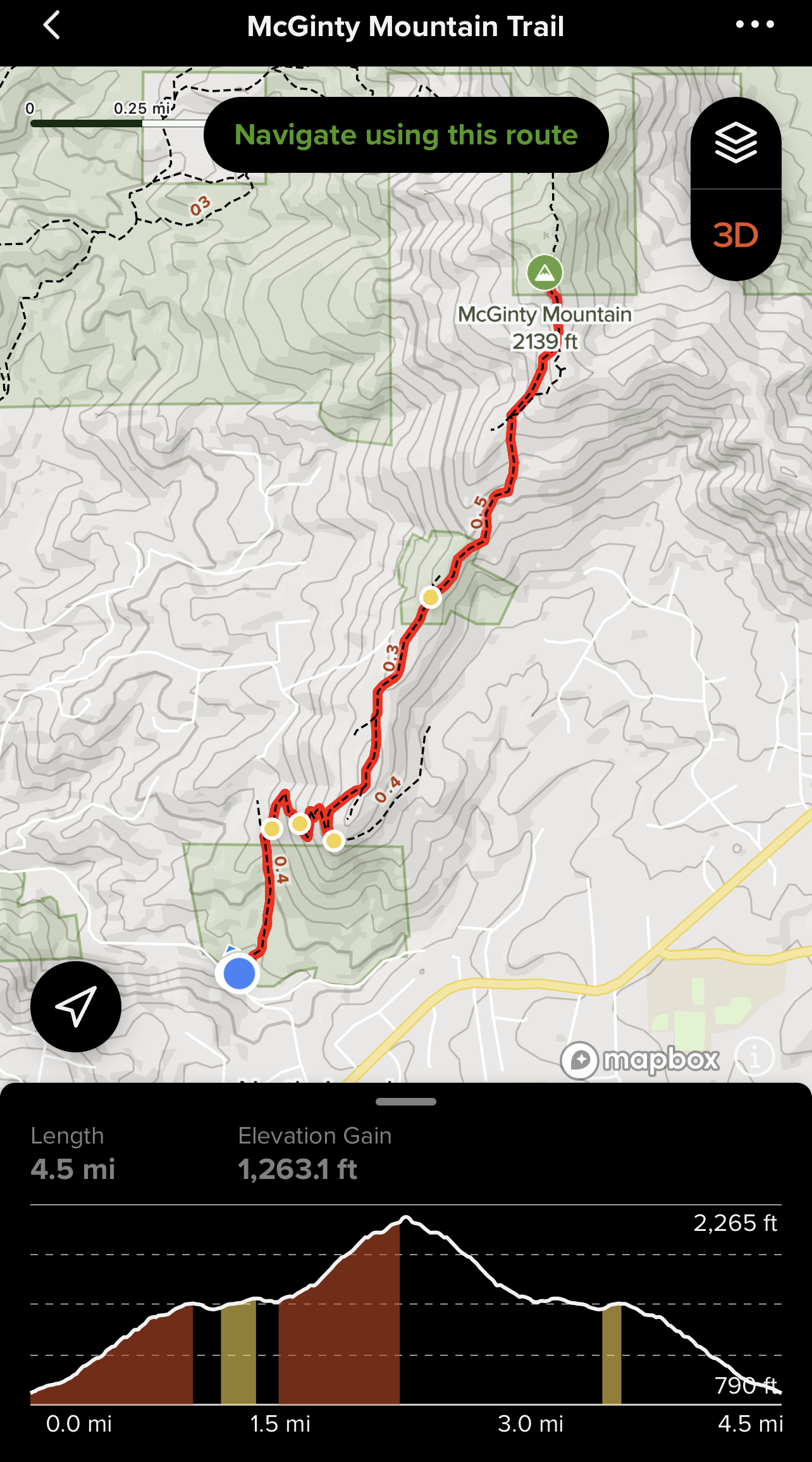
5.5 miles, 5,730′ elevation, 1050′ elevation gain, 2.5 hour duration, rated Moderately Strenuous
Activity: Day Hike, Peak Bagging
Date: 5-9-22
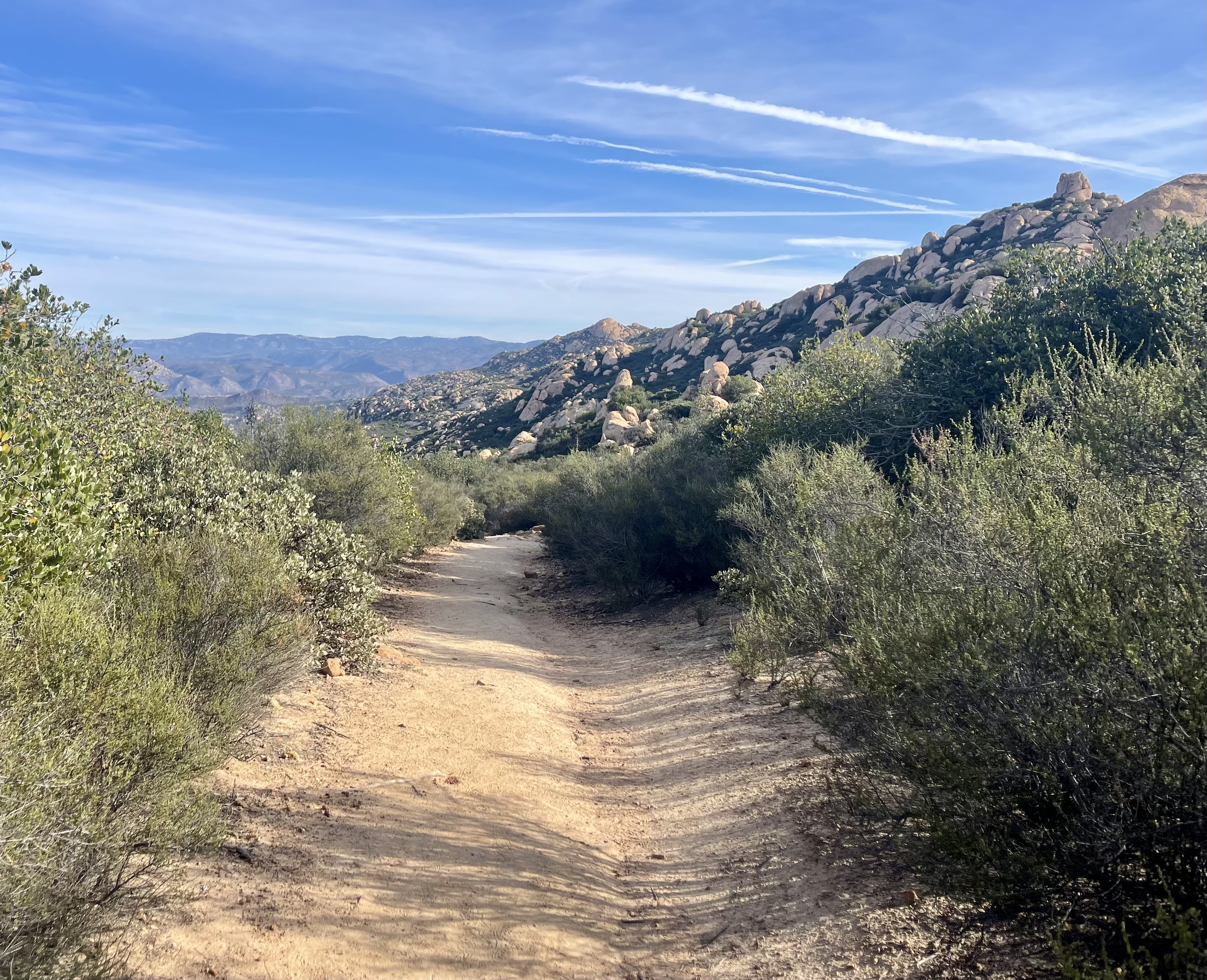
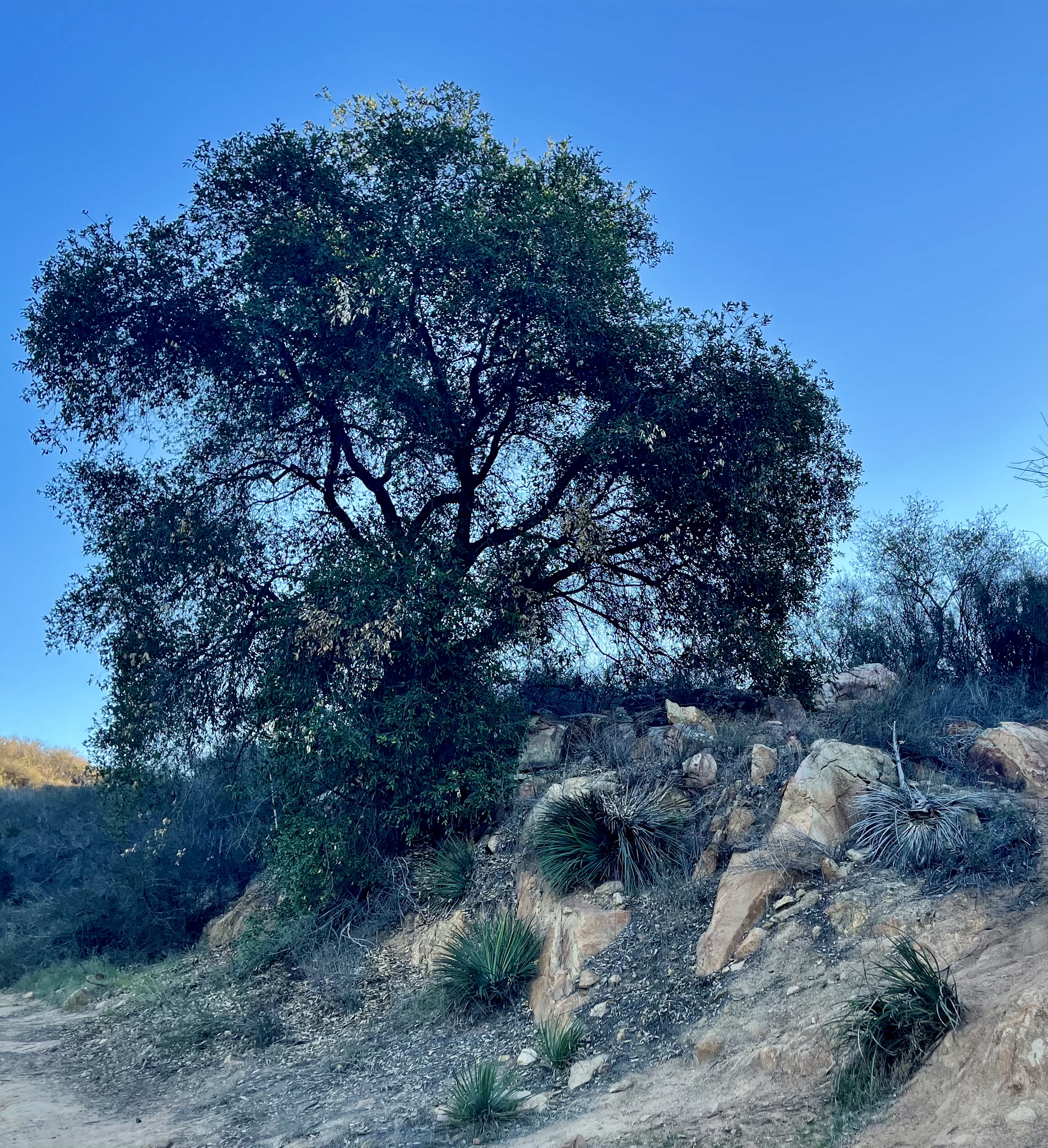
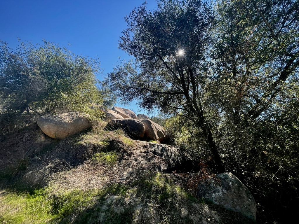
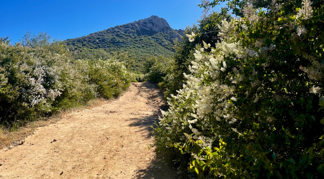
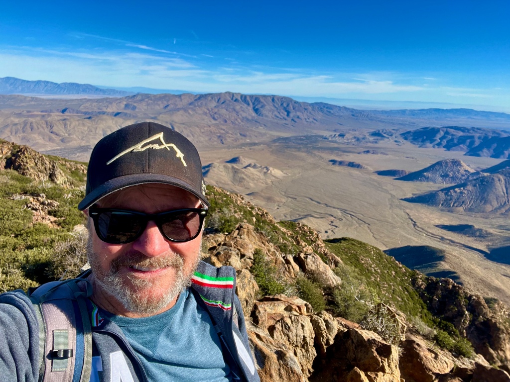
It was a beautiful Spring day. My 8:30 AM start found the air a bit crisp, but delightful especially when considering this hike was rather steep right off the get go. The switchbacks however, certainly made it quite manageable. The area was adorned with shady oaks, and sycamores trees along with desert chaparral and manzanilla.


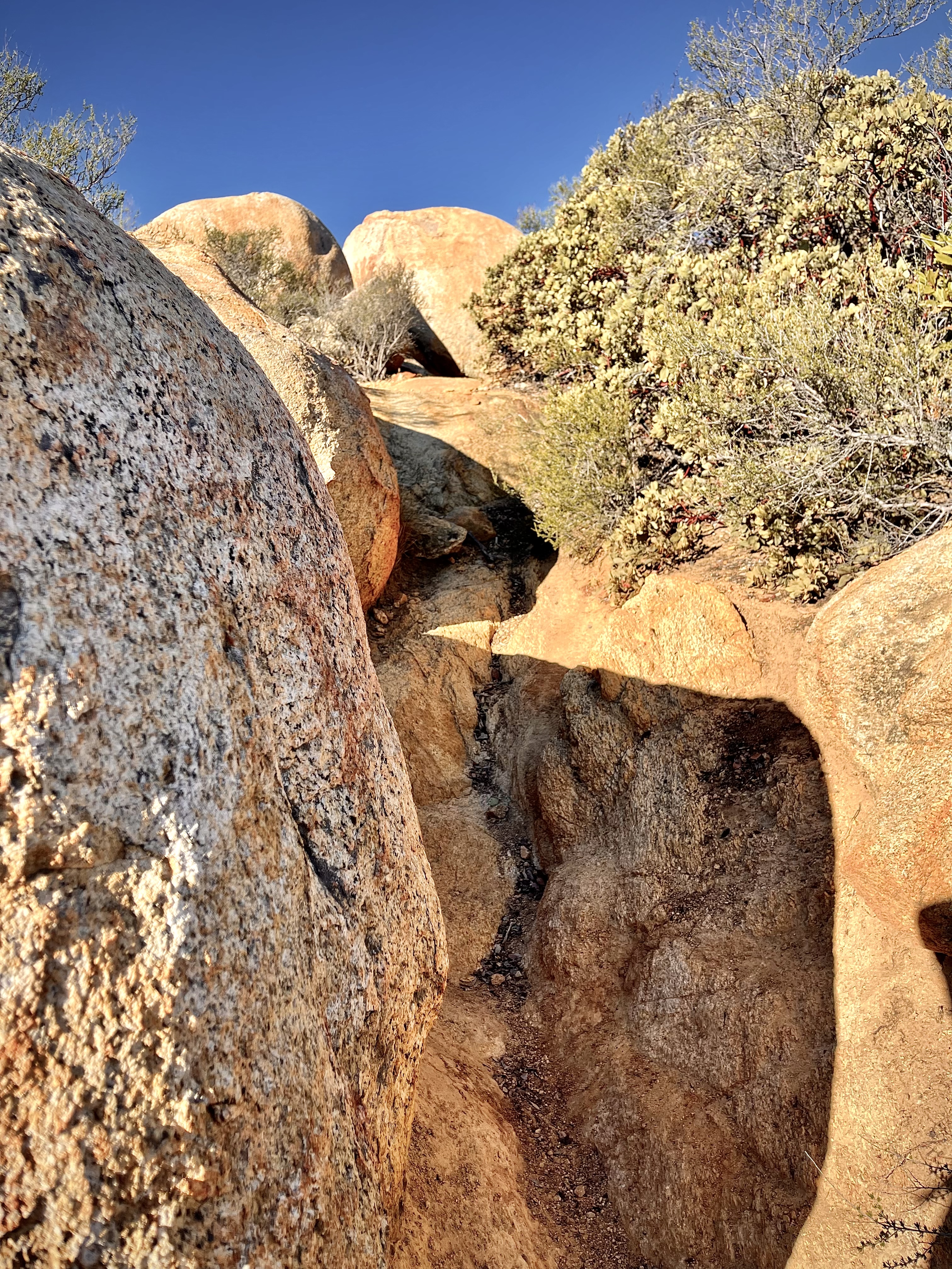
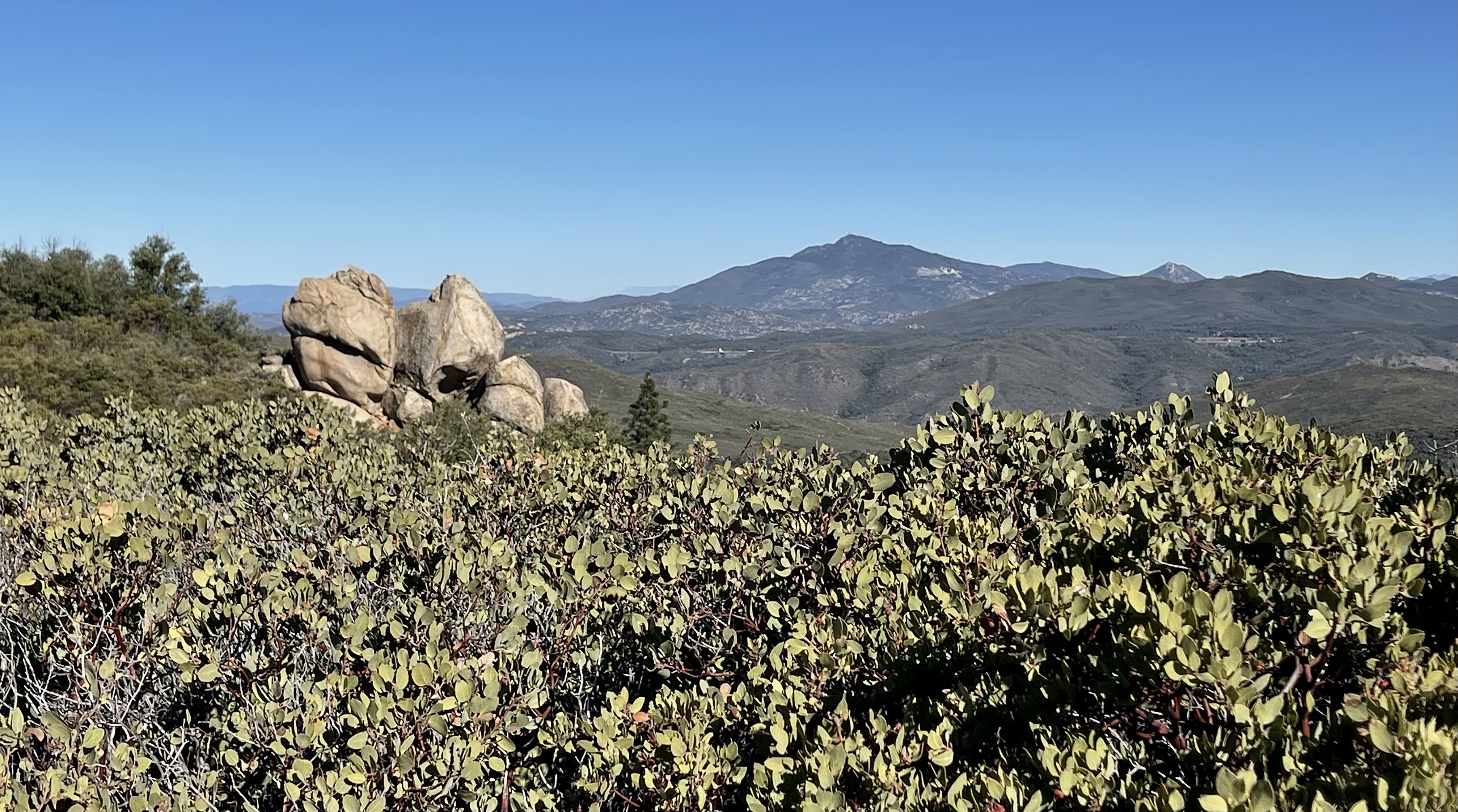
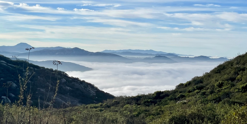
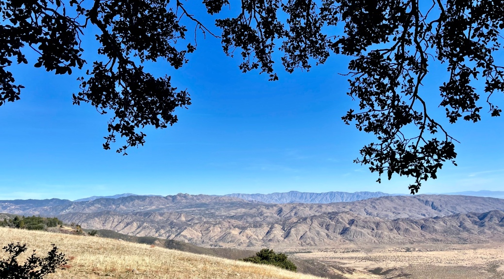
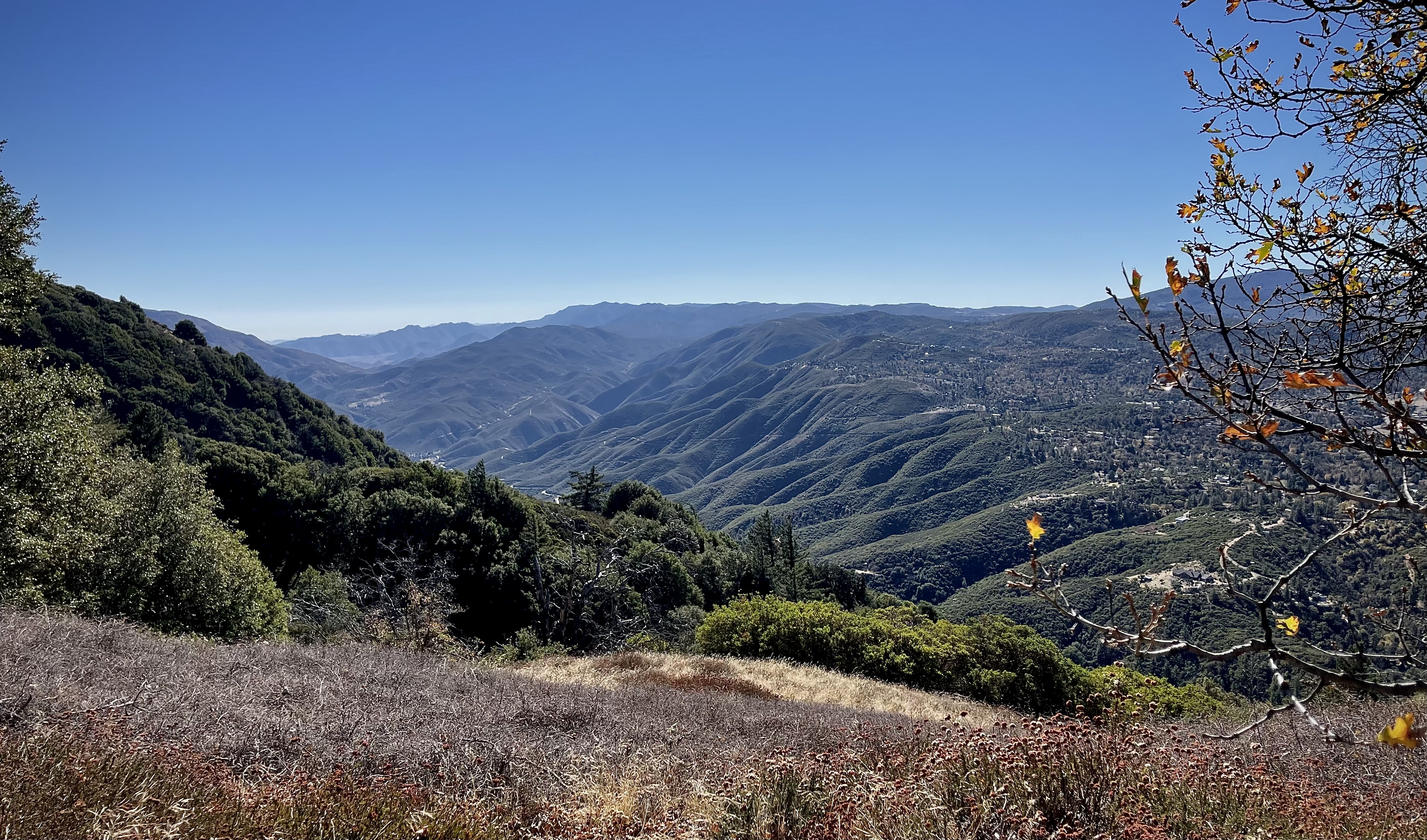
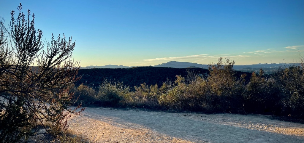
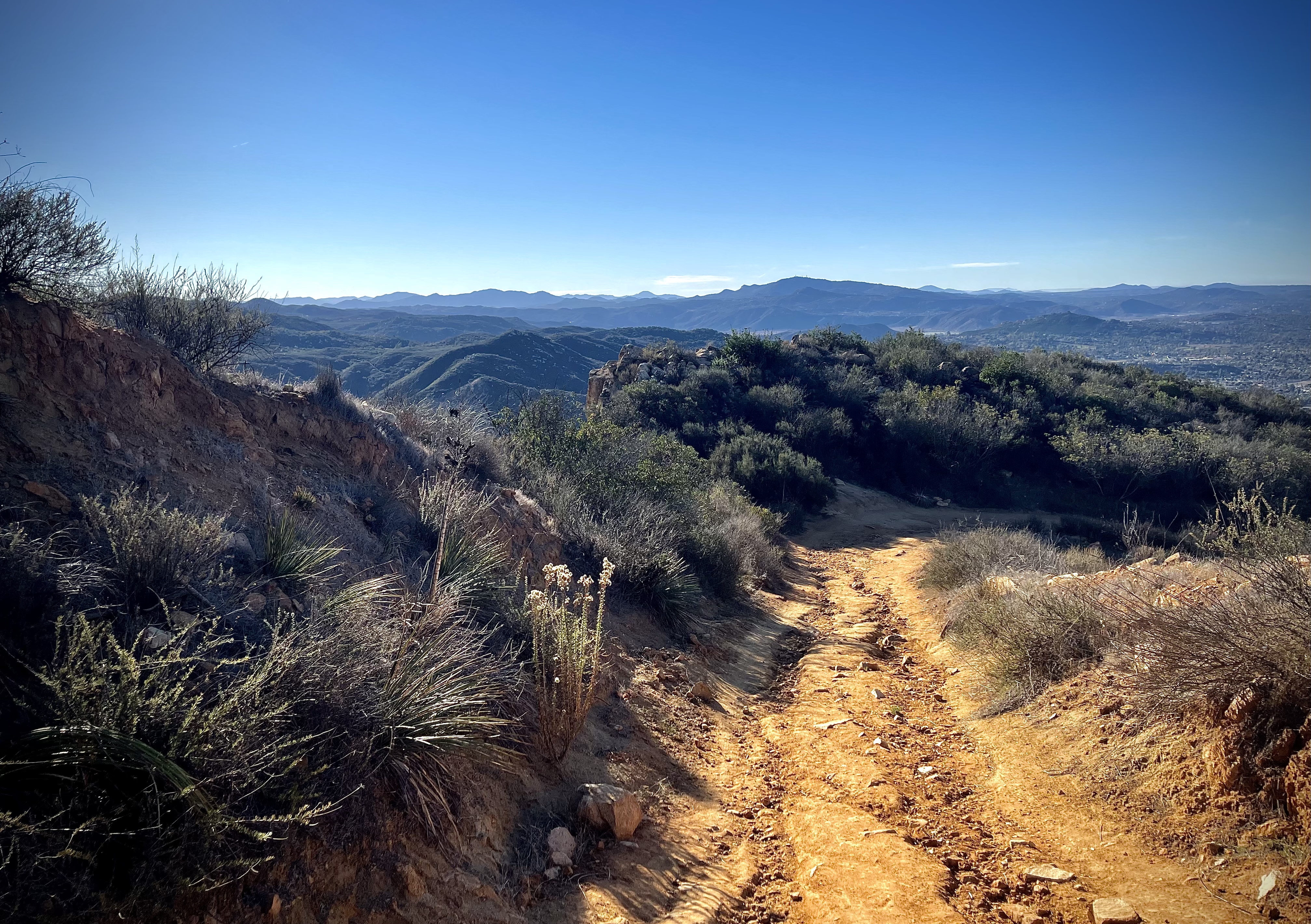
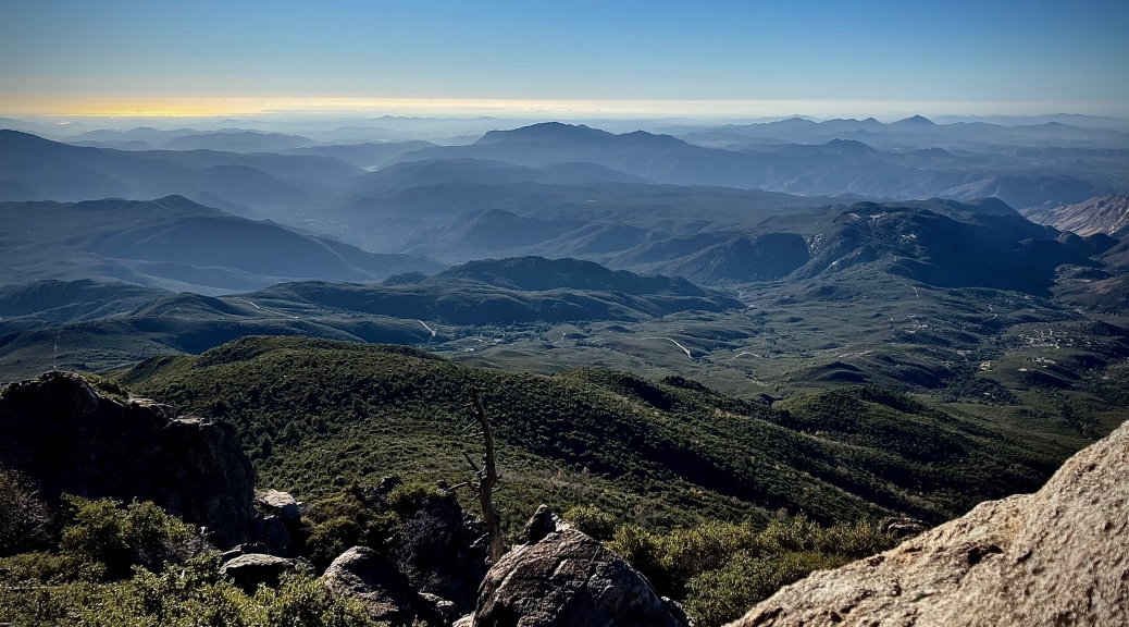
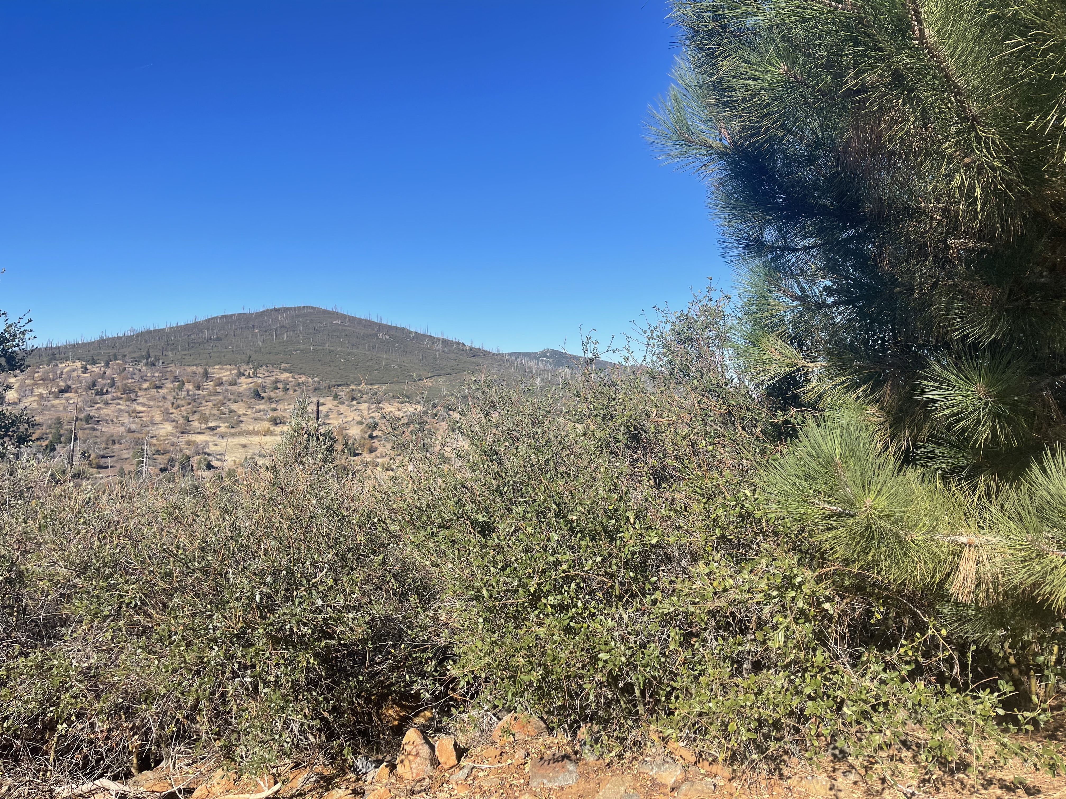
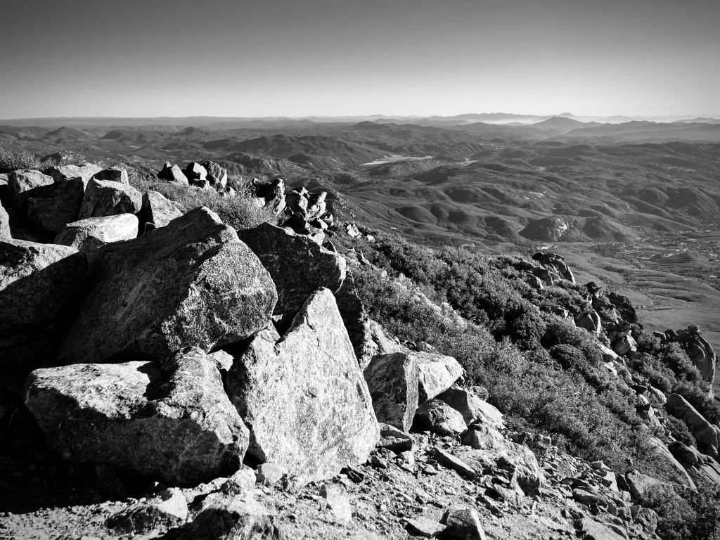
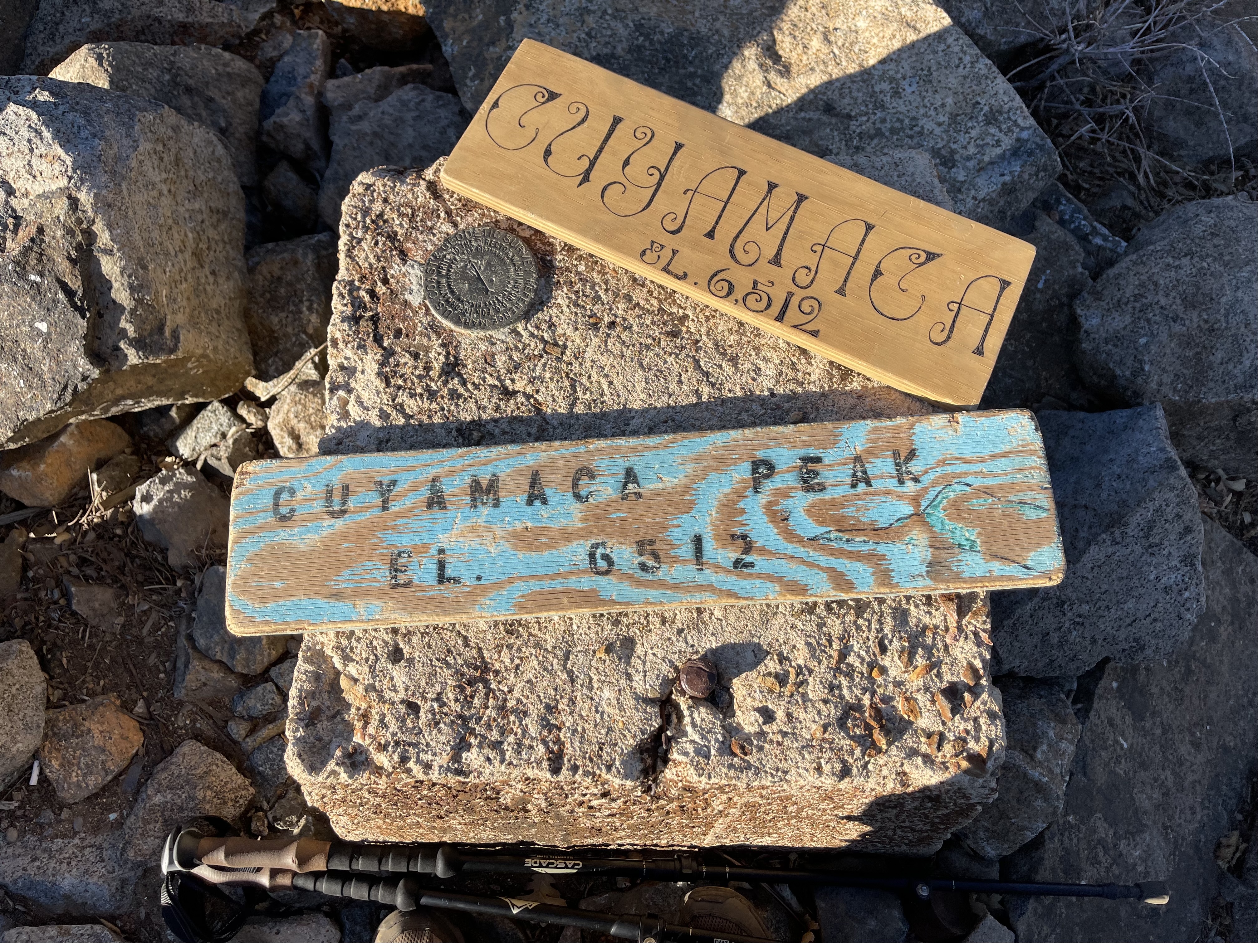
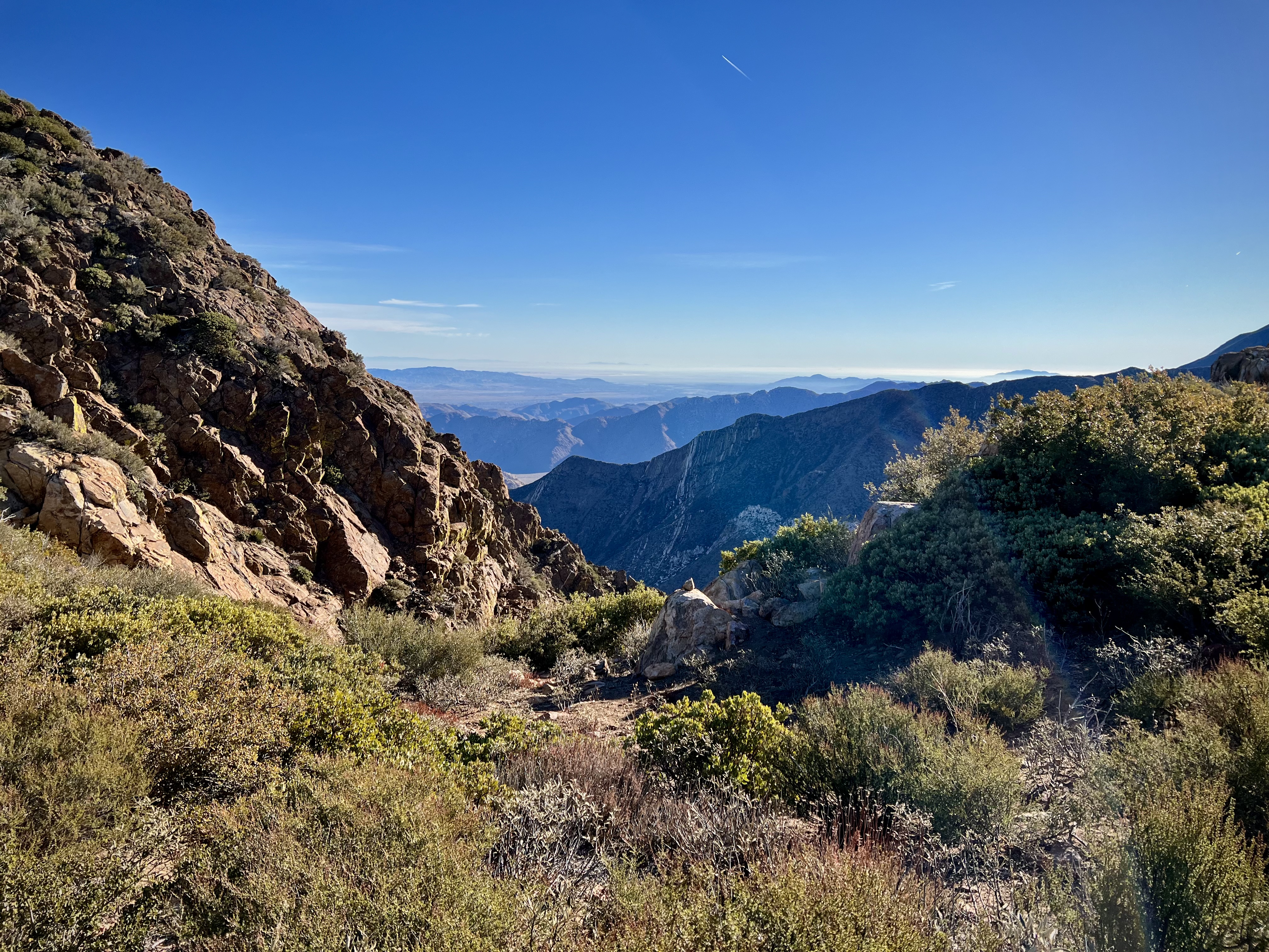
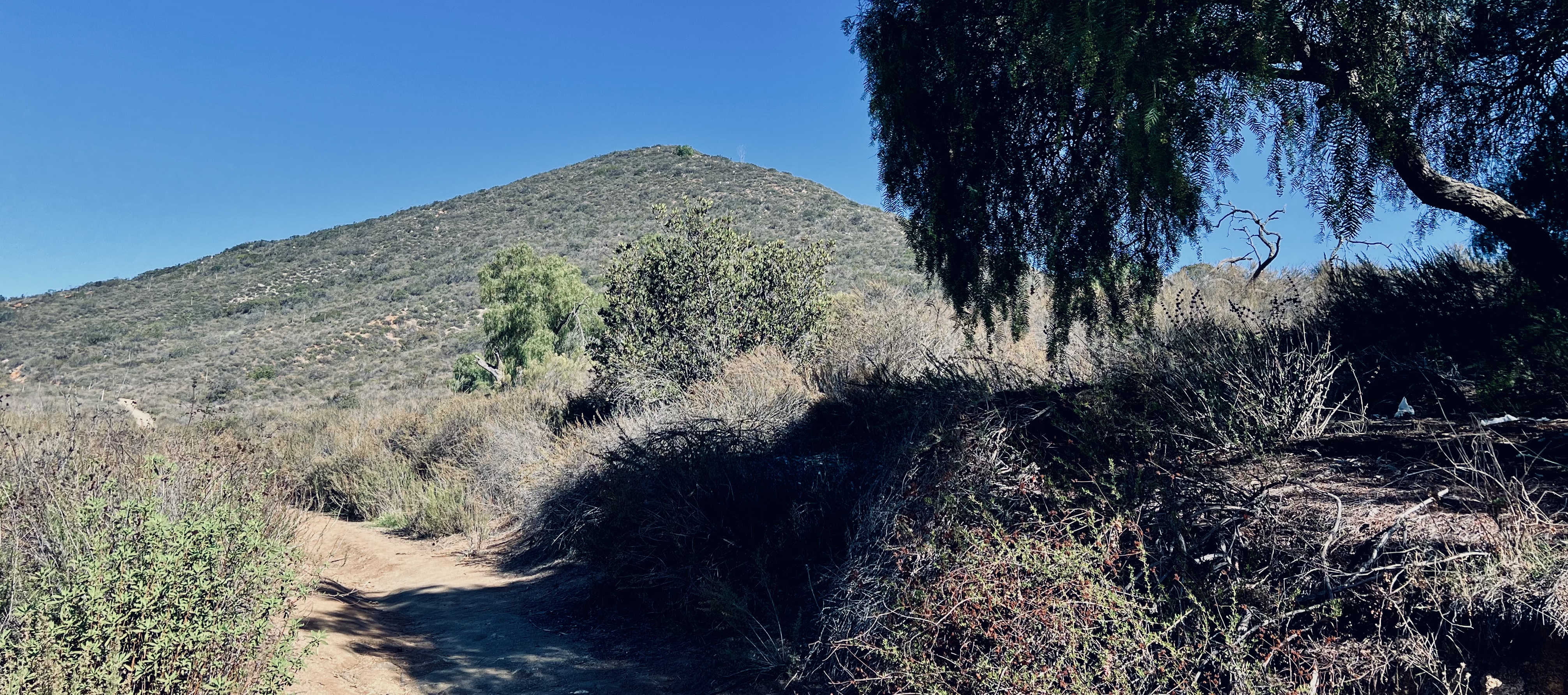
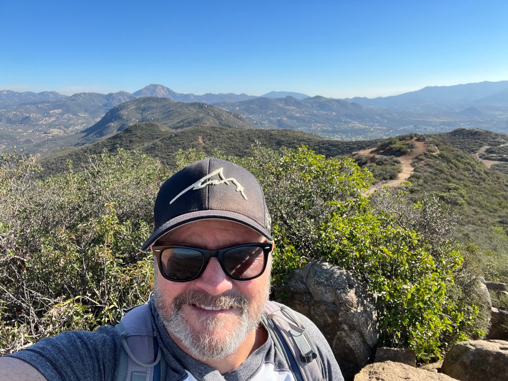
As I climbed higher in elevation I was afforded wonderful views of the park with each footfall. That last portion was a slight scramble, but a handrail and carved steps aided the final ascent to the top. Once on the Summit it was a 360 degree view of Rancho Cuyamaca State Park including Cuyamaca Peak, which I have climbed previously, the Laguna Mountains, the Santa Rosa Mountains, Anza-Borrego, the Salton Sea, Palomar Mountain, San Jacinto Peak, even Mexico. It was pretty astounding.


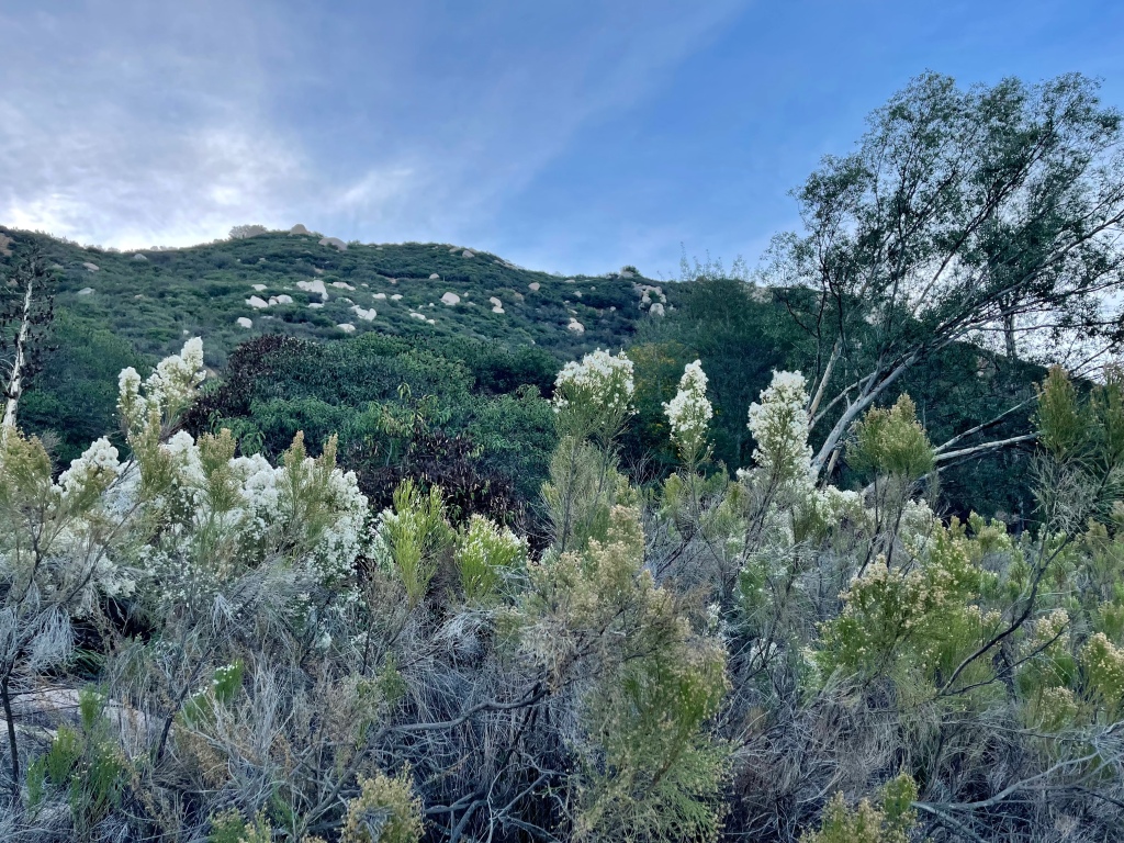
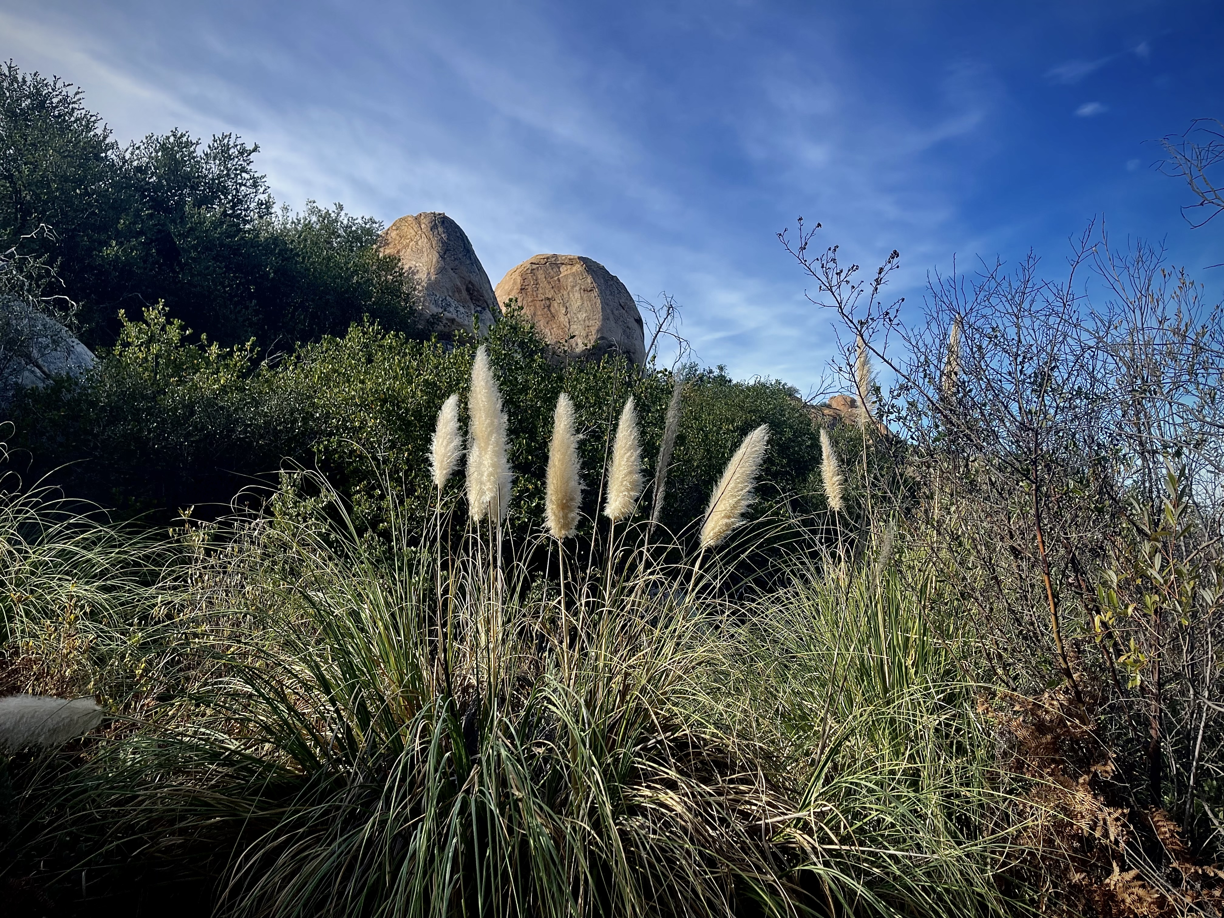
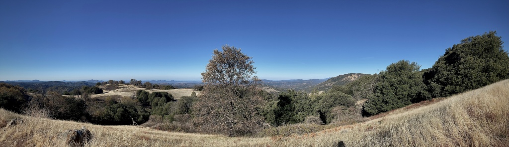
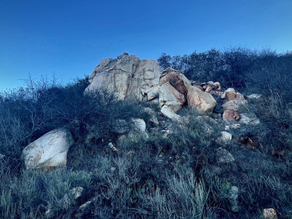
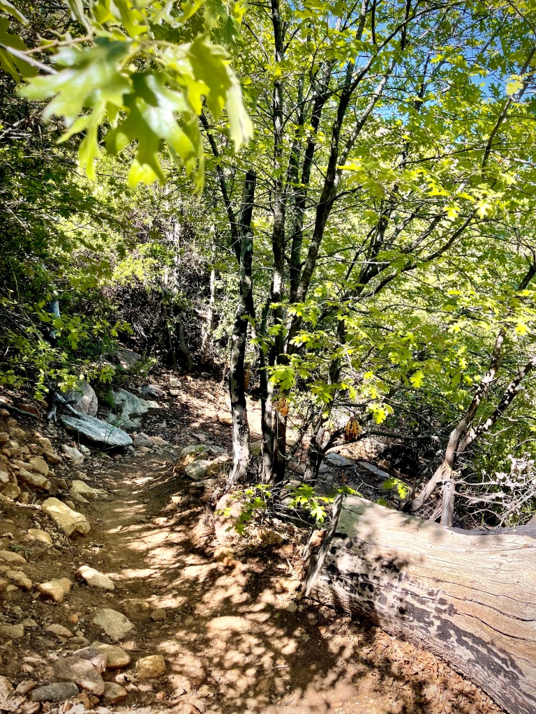
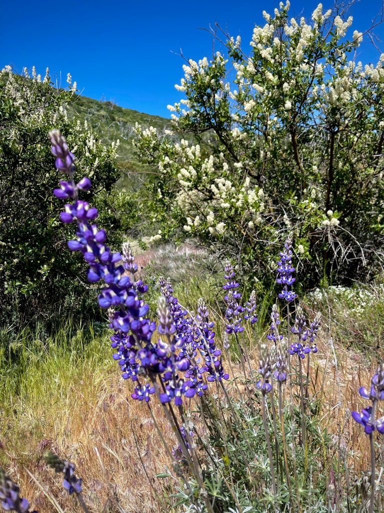
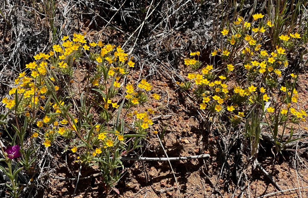
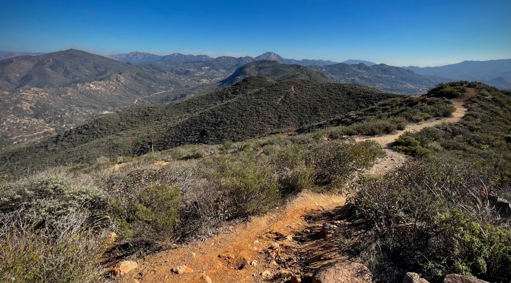
The front portion of the hike is one of the most popular hikes in the Park. I wanted to add some additional mileage, plus I always like a loop if there is that possibility. So I dropped down the backside which is a “road less traveled”, as the saying goes. This is more of a path and it is a little less cared for than the front section, but you will have the place much more to yourself. The trek decends in elevation to a meadow lined with fir trees. Flowers were saying hello to Spring with welcoming brightly colored blooms.


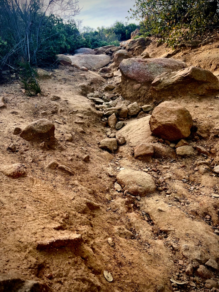
The hike wanders down Stonewall Peak Trail then takes a left on California Riding and Hiking Trail, a left on Cold Stream Trail and follow that to where you began.
YouTube Channel
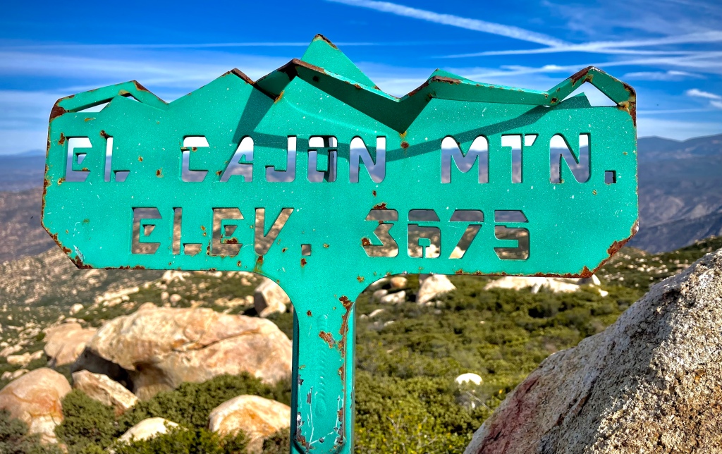
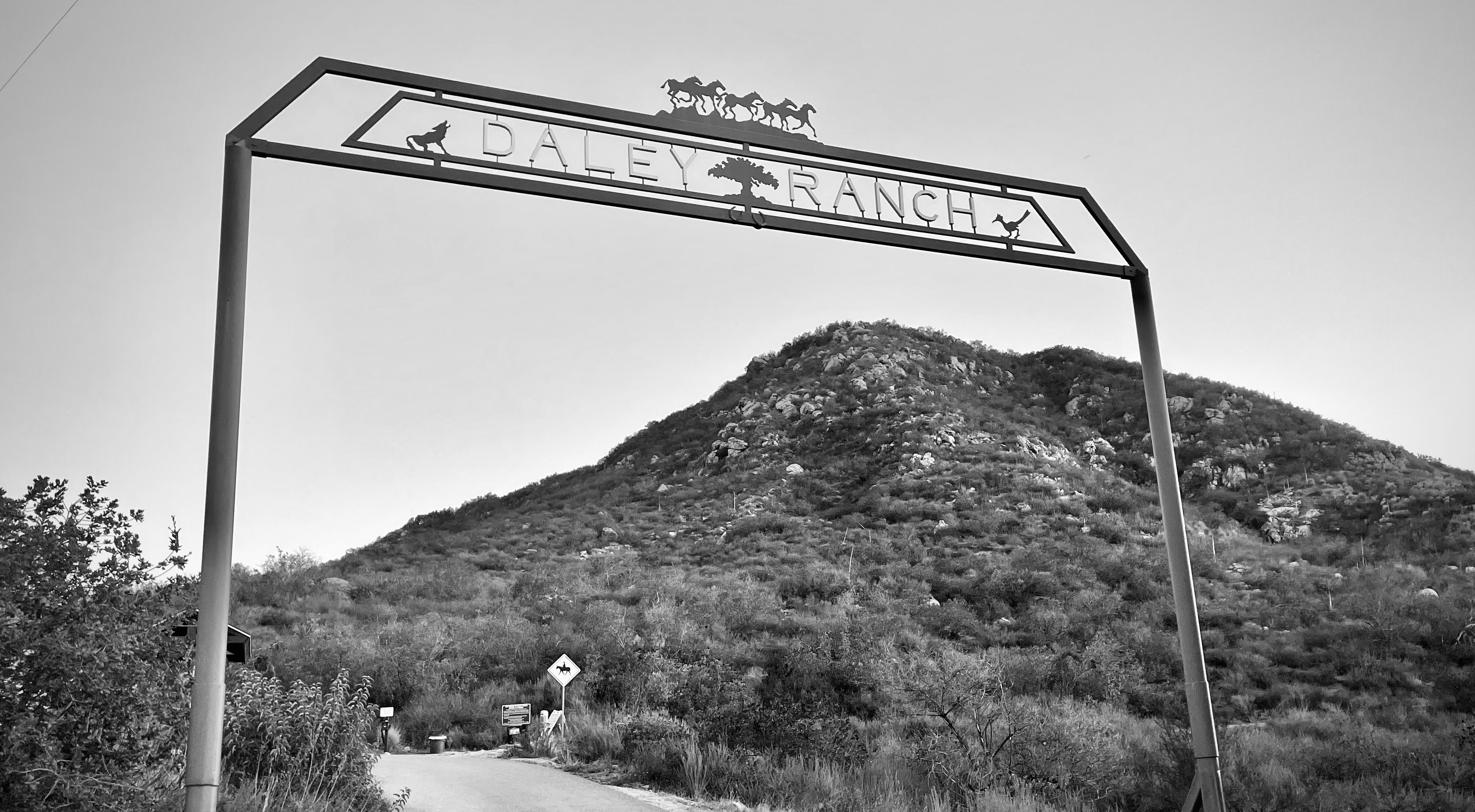
Stonewall Peak
CLICK THE PIC!
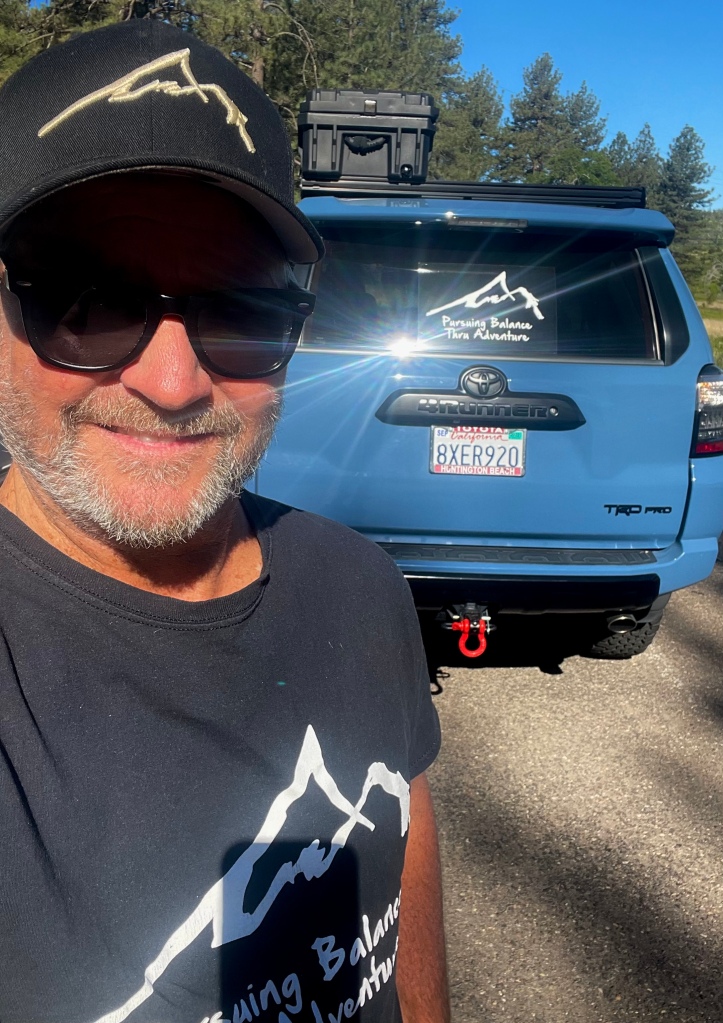
Thanks for joining my Peak Bagging excursion while I was out ‘Pursing Balance Through Adventure’ in Rancho Cuyamaca State Park. If you look at the menu above then you will discover that PBTA ventures to many fine places throughout the West in order to inspire others to put down the clicker, get off the couch and discover what adventures might await. The hope is to put a little Balance into a life that might otherwise be ho-hum at times and stressed out at other times. We can quickly get over taxed with appointments, deadlines, and responsibility. Nature can provide that needed breather. Breath in Nature… breath out stress. The menu is categorized mostly by location. Each is a separate website and thus needs to be FOLLOWED independently. Speaking of which please: COMMENT, LIKE, FOLLOW and SHARE. The hat on my head can be yours for a nominal price. It is part of my Adventure Wear Line and carries the PBTA Logo. I invite you to check it out at SHOP APPAREL.
Happy Trails-
Roger Jenkins
Pursuing Balance Through Adventure


 Lake Poway